Latest exhibitions

Online exhibition
In Their Own Voices: Stories From Canadian Veterans and Their Loved Ones
In Their Own Voices is an oral history project about Canadian veterans’ post-service lives from the Second World War to the present day. It consists of more than 200 interviews.
Until Dec. 29, 2025
Online exhibition
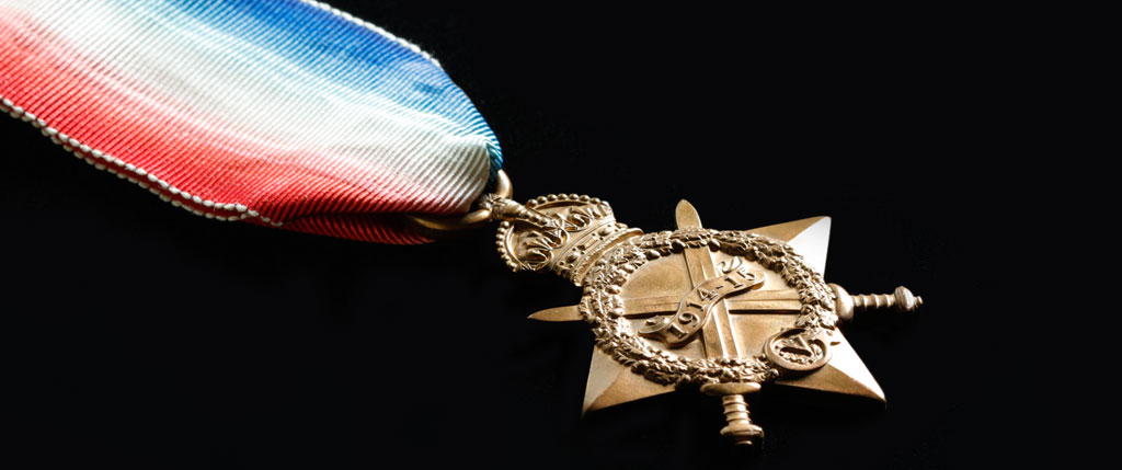
The meaning of medals: Canadian stories of service and honour
Medals are awarded for many reasons: some for service, others for acts of courage. Discover the people and stories behind thousands of medals awarded to Canadians in times of war, conflict and peace.
Until Dec. 29, 2025
Online exhibition
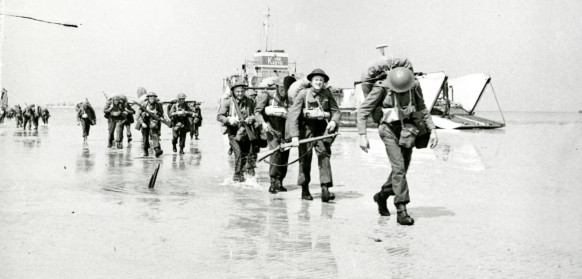
Invasion! Canadians and the battle of Normandy, 1944
The D-Day landings and the Battle of Normandy opened another front in the war against Germany — an important step towards the Allies’ May 1945 victory in Europe.
Until Dec. 29, 2025
Online exhibition
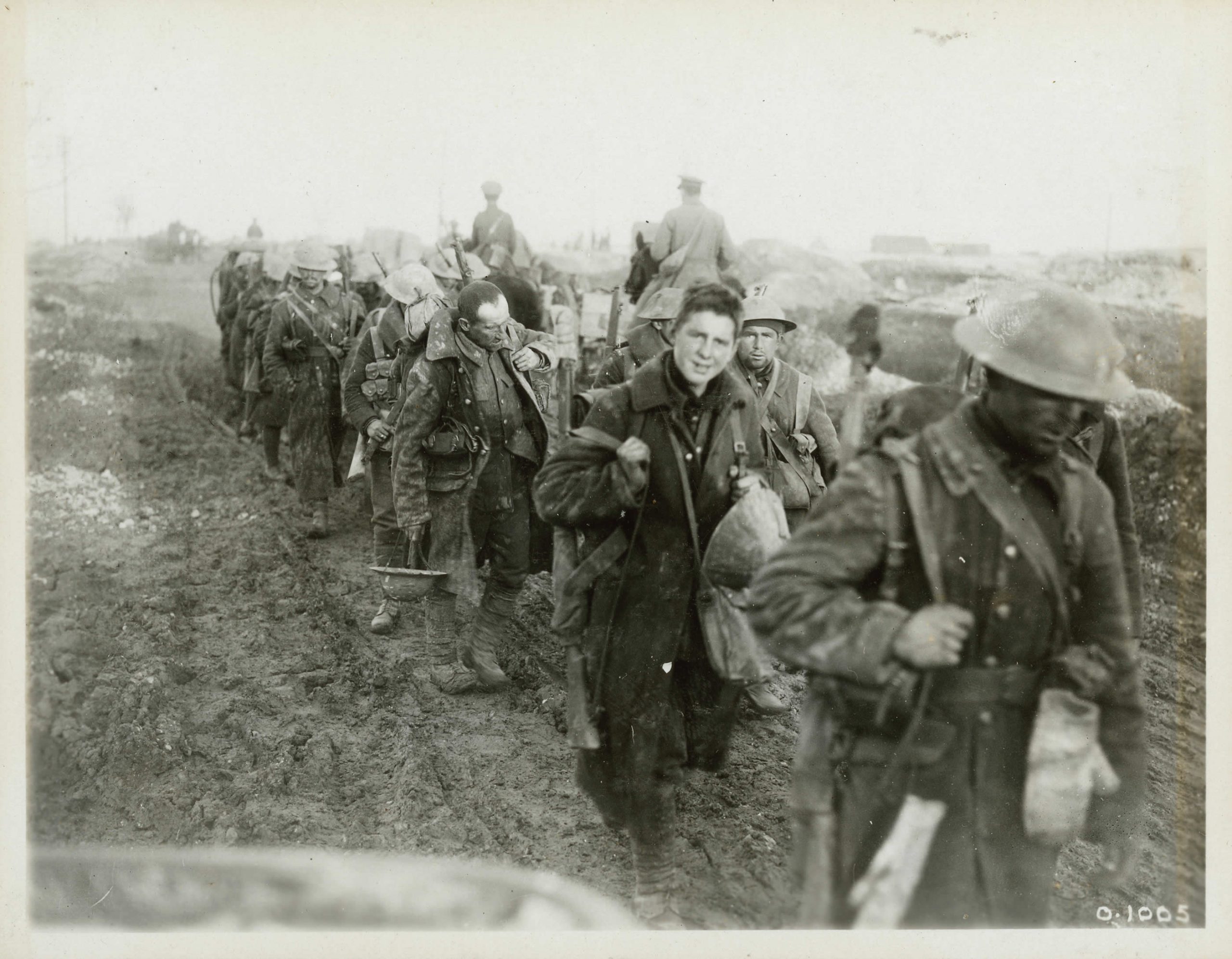
Canada and the First World War
Canada’s contribution to the First World War led to growing autonomy and international recognition, but at great cost.
Until Dec. 29, 2025
Online exhibition
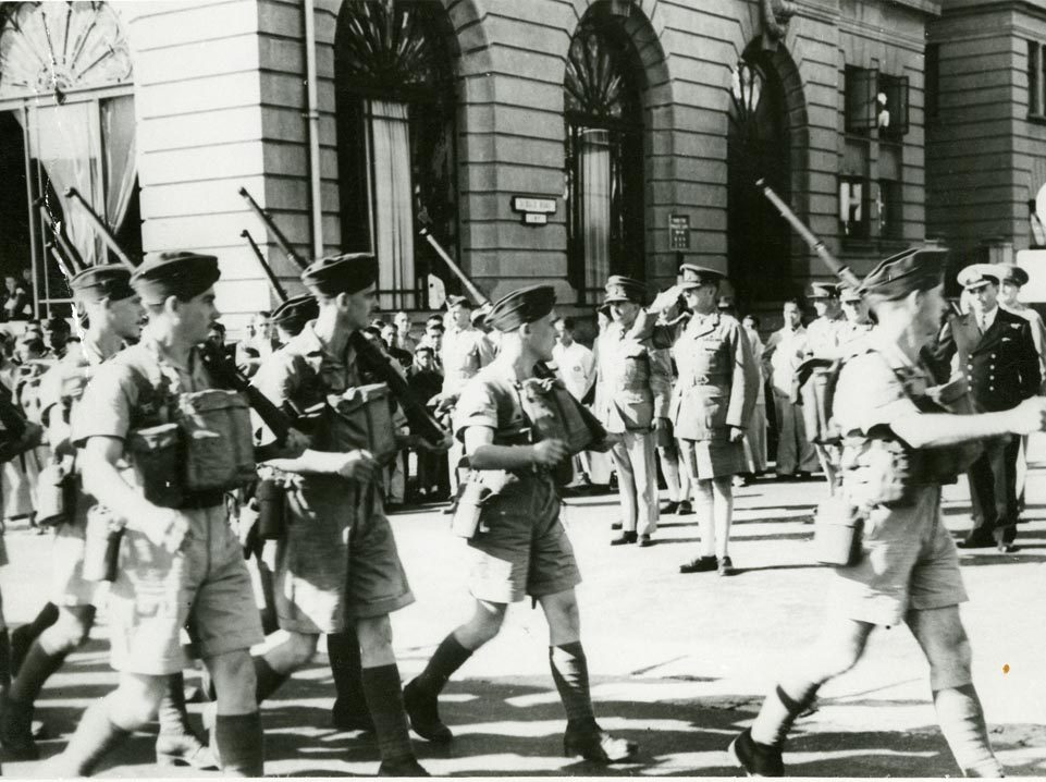
Canada at War Against Japan, 1941–1945
Learn more about a war that had terrible and wide-ranging consequences in Canada and abroad.
Until Dec. 29, 2025
Online exhibition
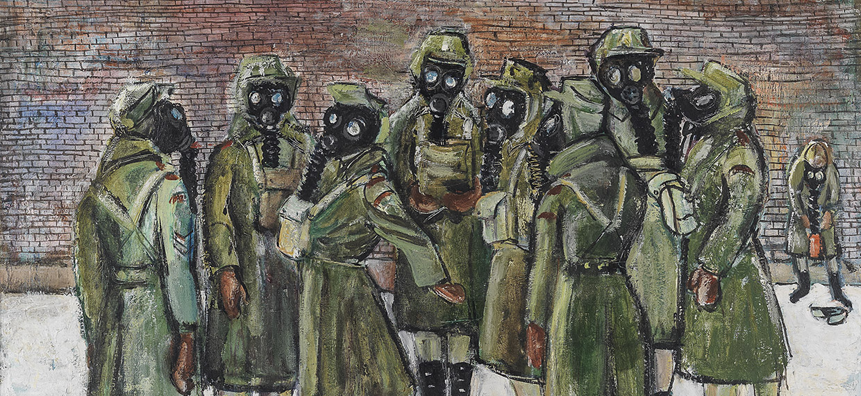
Women in Service – The War Art of Molly Lamb Bobak
Explore 19 works created by Molly Lamb Bobak during her time as an official war artist.
Until Dec. 29, 2025

Online exhibition
Liberation! Canada and the Netherlands, 1944–1945
Canadians played an important role in the liberation of the Netherlands during the Second World War.
Until Dec. 29, 2025
Online exhibition
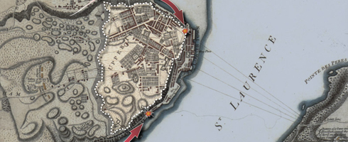
The American Revolution (1775-1783)
Most of Britain's American colonies rebel in 1775 and form the United States in 1783. Other British colonies remain loyal to the Crown and eventually unite in 1867 to form the Dominion of Canada.
Until Dec. 29, 2025
Online exhibition
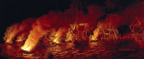
The Seven Years’ War (1754-1763)
In North America, the war leads to the British Conquest of Canada, the American Revolution, and the first step towards recognition of Aboriginal Title by the Crown.
Until Dec. 29, 2025
